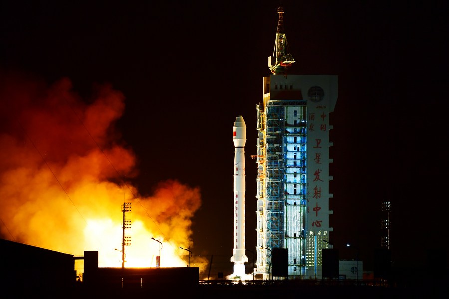
A Long March-4C rocket carrying L-SAR 01A satellite blasts off from the Jiuquan Satellite Launch Center in northwest China, Jan. 26, 2022 to place a new satellite in space. The satellite will be used to monitor geological environment, landslides and earthquakes. (Photo by Wang Jiangbo/Xinhua)
BEIJING, Feb. 11 (Xinhua) -- A Chinese remote-sensing satellite started to take pictures in its orbit, scientists in charge of the satellite said Friday.
China launched a Long March-4C rocket to place the L-SAR 01A satellite in space on Jan. 26. The satellite, equipped with L-band synthetic aperture radar (SAR), can monitor the geological environment, landslides, and earthquakes.
The radar is now capable of taking quality pictures from space, according to the Aerospace Information Research Institute under the Chinese Academy of Sciences (CAS), the organization that designed the radar and received observing data.
The SAR is a microwave-imaging radar system that emits electromagnetic waves to Earth and receives echoes. It can take all-weather, round-the-clock, high-definition microwave pictures of the land surface.
The L-SAR is a satellite group composed of two satellites. They are designed to go into orbit at an altitude of 600 km. The L-SAR 01B will be launched at the end of February. ■