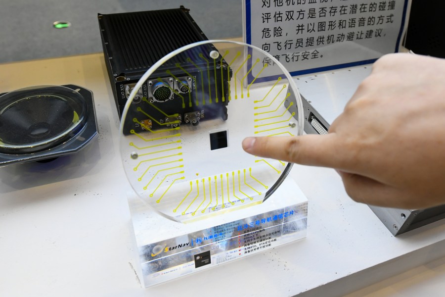
A communication chip of China's BeiDou-3 Navigation Satellite System is on display at the 10th China (Mianyang) Science and Technology City International High-Tech Expo in Mianyang, southwest China's Sichuan Province, Nov. 16, 2022. (Xinhua/Tang Wenhao)
WUHAN, Feb. 15 (Xinhua) -- China will employ BeiDou satellite-based augmentation system (BDSBAS) to provide high-precision positioning service in railway survey and construction, according to the China Railway Siyuan Survey and Design Group Co., Ltd.
Four satellite-based and 12 ground-based observation stations will be set up along the Wufeng-Enshi railway section in central China's Hubei Province.
This is the first time that the BDSBAS will be used in the field of intelligent railway surveys, according to the company.
Users can access the real-time centimeter-level positioning service after receiving relevant signals through a wireless network or satellite-to-earth communication.
Compared with the BeiDou ground-based augmentation system (BDGBAS), the BDSBAS is more efficient in network construction and wide-range constant positioning in mountainous regions.
The construction of BDSBAS and BDGBAS in the Wufeng-Enshi section will further enhance the railway survey efficiency, and lay the foundation for high-precision geographic information services of intelligent survey and design, said the company. ■


