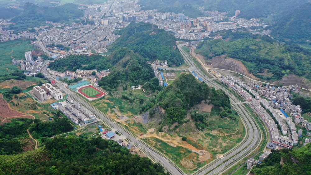
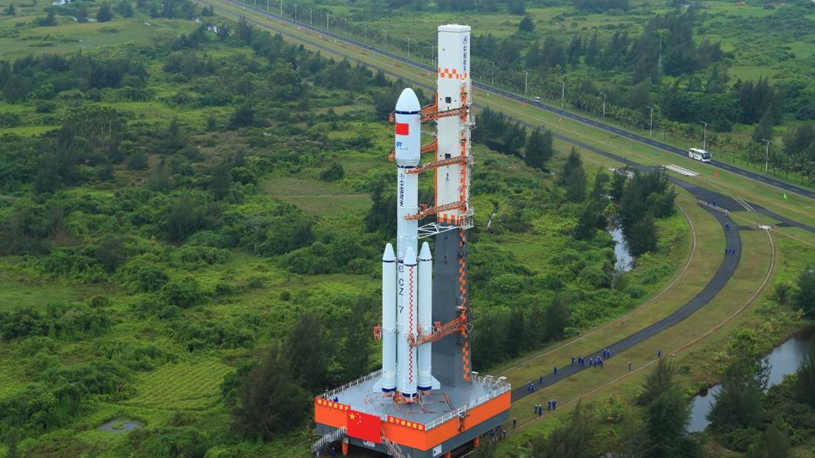
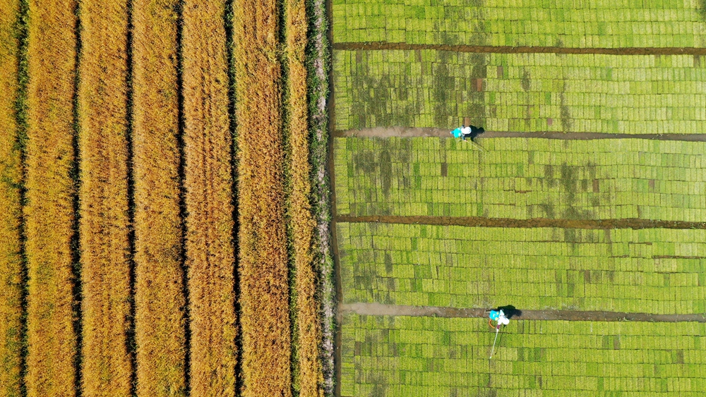
Remote sensing satellites are used in landscape and resource mapping, desertification control and disaster relief, among other fields. Click to appreciate the images these "oil painters" have taken and sent back to Earth. ■
Lift off! China's space odyssey | Remote sensing satellite, the "oil painter"
Send