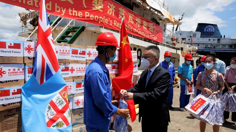
BEIJING, Jan. 25 (Xinhua) -- It's been a week since the massive eruption of Tonga's Hunga Tonga-Hunga Ha'apai volcano. Many countries including China have voiced concern over disaster-hit Tonga and pledged aid for the country. Here are some satellite images of Tonga and its surrounding waters a week after the volcanic eruption.
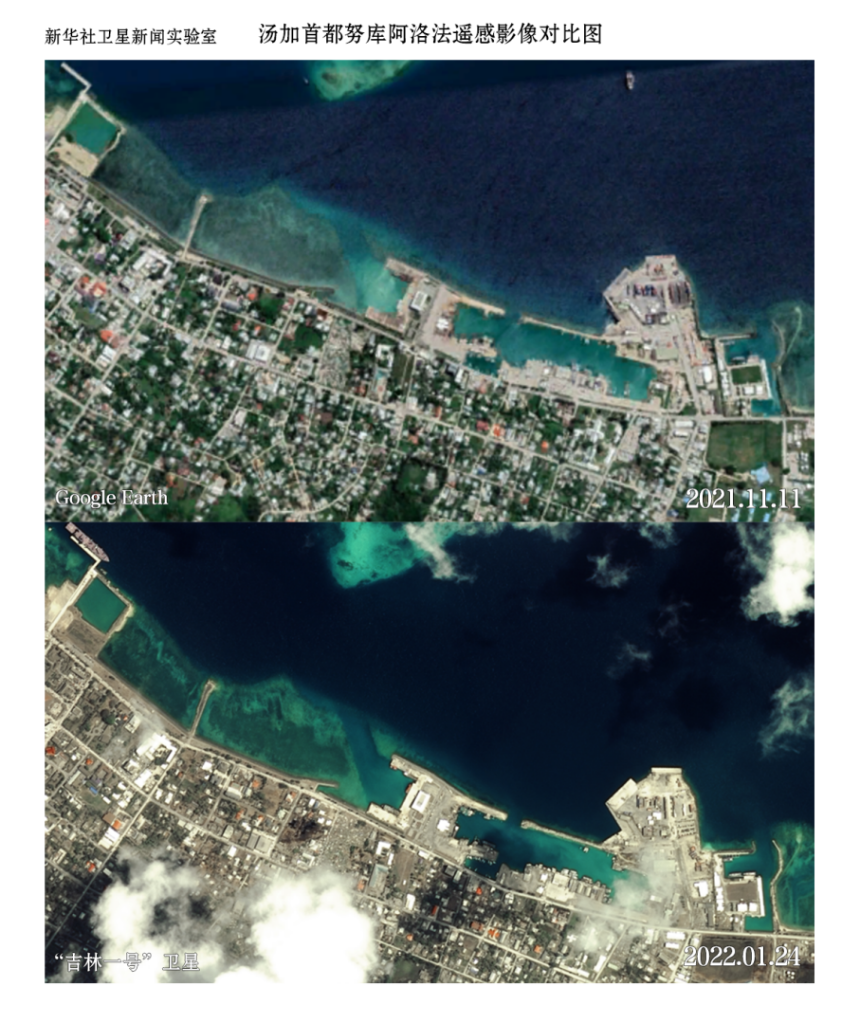 Satellite images show Tonga's capital city Nuku'alofa before and after the volcanic eruption. (Photo credit: NSOAS)
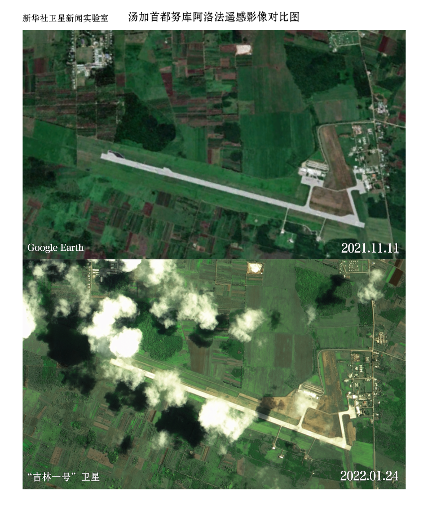 Satellite images show Tonga's capital city Nuku'alofa before and after the volcanic eruption. (Photo credit: NSOAS)
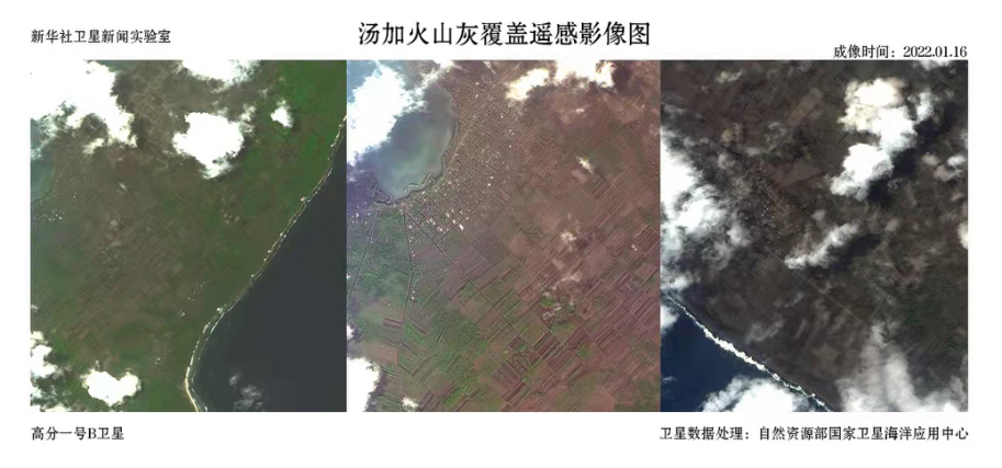
Satellite images show some of Tonga's grounds (grey area) are covered with volcanic ash. (Photo credit: NSOAS)
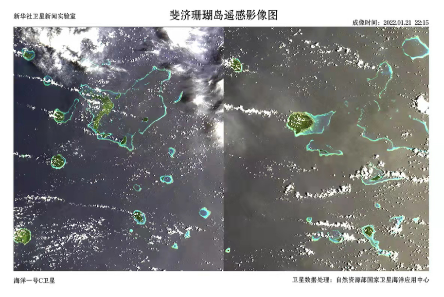
Satellite images show Tonga's neighboring country Fiji's coral islands after the volcanic eruption. (Photo credit: NSOAS)
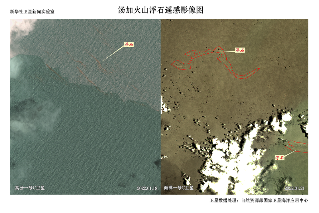
Satellite images show that there are still some pumice stones caused by volcanic lava around Tonga. (Photo credit: NSOAS)■