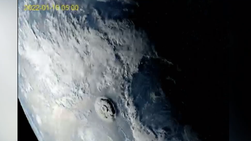
BEIJING, Jan. 18 (Xinhua) -- The massive eruption of the Hunga Tonga-Hunga Ha'apai volcano in Tonga has lately sent tsunami sweeping across the shore of the South Pacific island country, and multiple countries nearby have reported rising water levels or issued tsunami warnings. As eruptions may continue, countries have voiced concern over disaster-hit Tonga and a potential climate fallout, while pledging aid for the country. Take a look at the damage from deadly volcanic eruption revealed in satellite images.
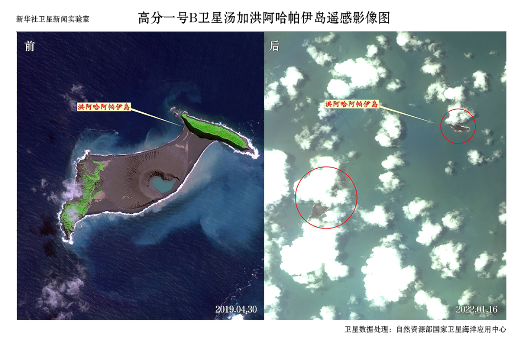
Satellite images show Tonga's Hunga Ha'apai island which used to be joined together became two parts after the volcanic eruption. (Photo credit: NSOAS)
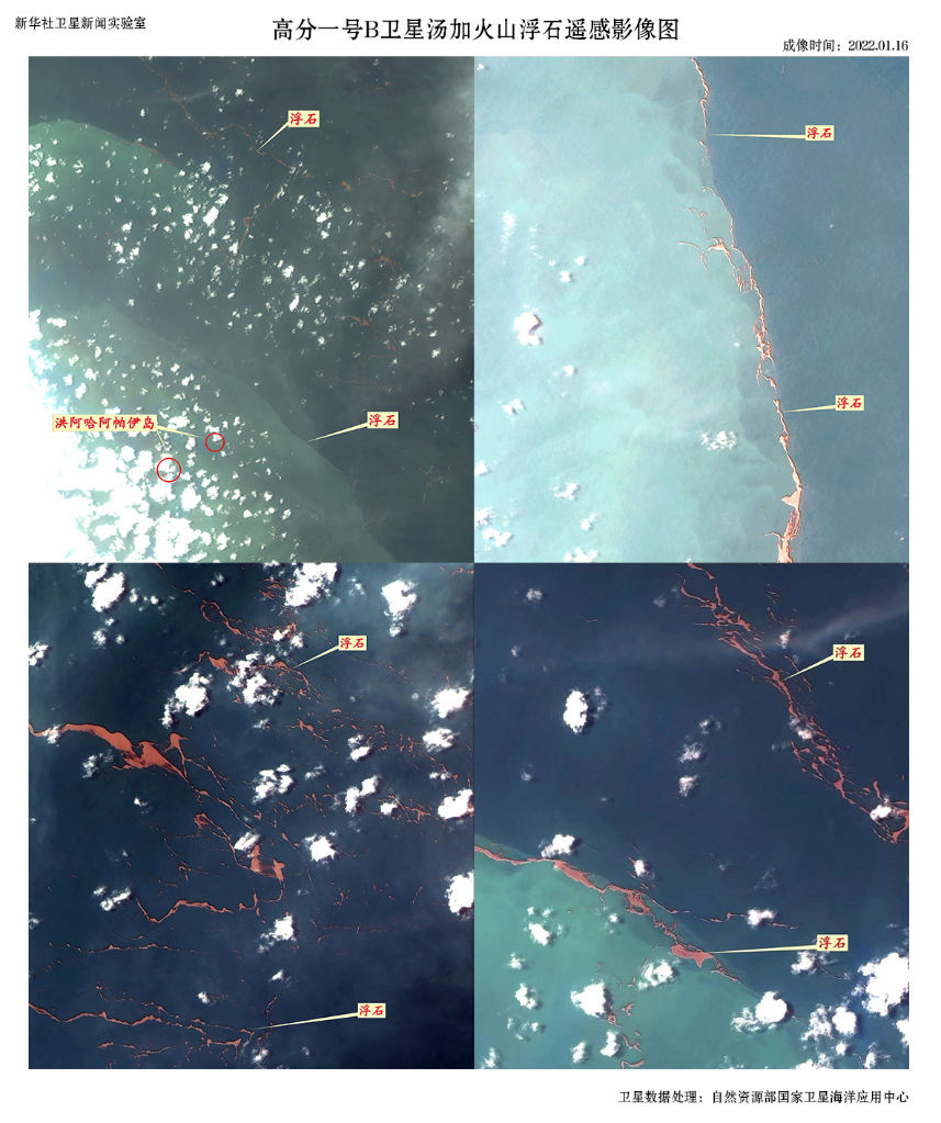
Satellite images show that there are lots of pumice stones caused by volcanic lava around the Hunga Ha'apai island. (Photo credit: NSOAS)
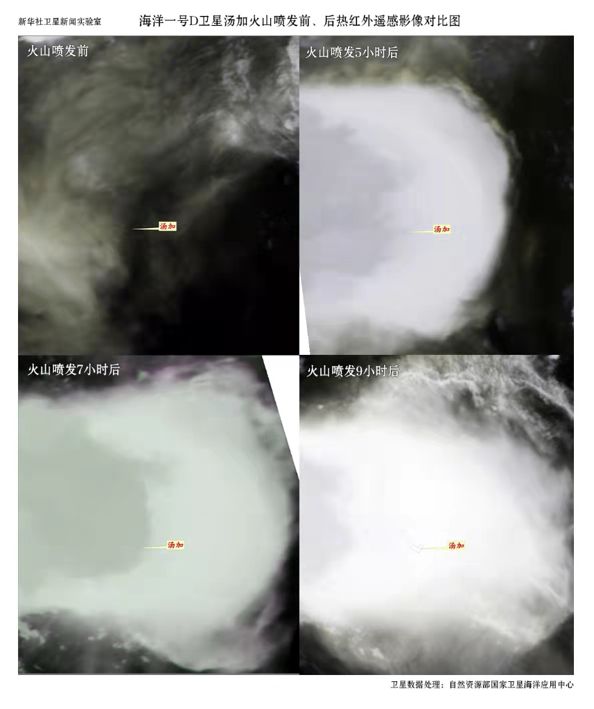
Satellite images show Tonga's Hunga Ha'apai island's thermal infrared cloud pictures before and after the eruption. (Photo credit: NSOAS)■